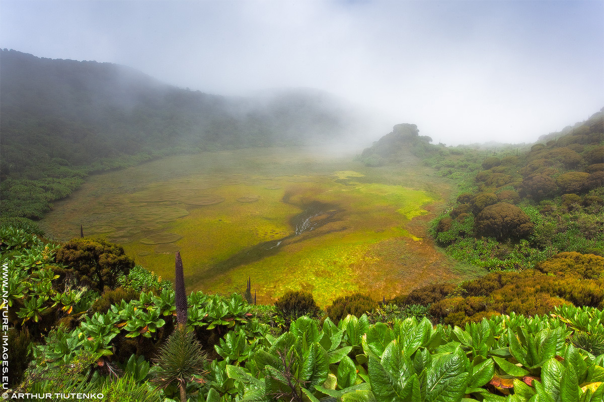
Mount Gahinga Crater
by Arthur Tiutenko
Hi,
this image shows a view at the swamp inside the crater of Mount Gahinga (a.k.a. Mgahinga) which is one of the volcanoes in the Virungas mountain chain at the borders of Rwanda and Uganda. Actually the place that you see on this photo is the border: I shot this, when I was standing in Uganda, and Rwanda is already on the other bank of the swamp. The crater is at altitude of 3,473 m above sea level. The mist visible here above the swamp was a cloud. The wind had blown it off the swamp for about a minute, and I could take a photo. Of course, I shot many images from different points - but each time I had to wait till the wind reveals the swamp.
Shooting data: 21 mm, ISO 100, f/16, 1/40s, GND filter, tripod

Comments
9 commentsI would love to just sit there and stare at that swamp for eternity !
aF
Barry, such landscapes aren't common also in Arica. This place is quite high in the mountains, and this is why its original look remained. Certainly, if it were the Alps in Europe, there were a cable railway to bring tourists, a paved road around the swamp, and at least one restaurant at each side of the border... In Africa, only Kilimanjaro may soon come to a similar level of landscape destruction. Other mountains are still in quite original state. Other areas on African continent that are more suitable for economic use are already overpopulated and economically overexploited. Substantial "goosing of reality" is therefore quite often necessary - for instance, in photographs of savanna.
Looks good.